out & back
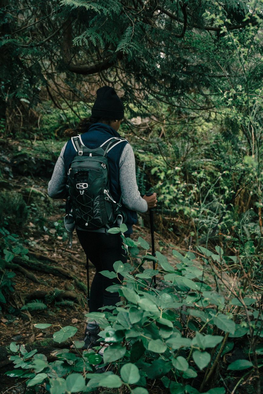
Day hike
Up before dawn, back for dinner. The long trail in a single long day.
8–20 mi
Plan multi-week trails, cache water, track every mile, and walk with a community that's already out there.
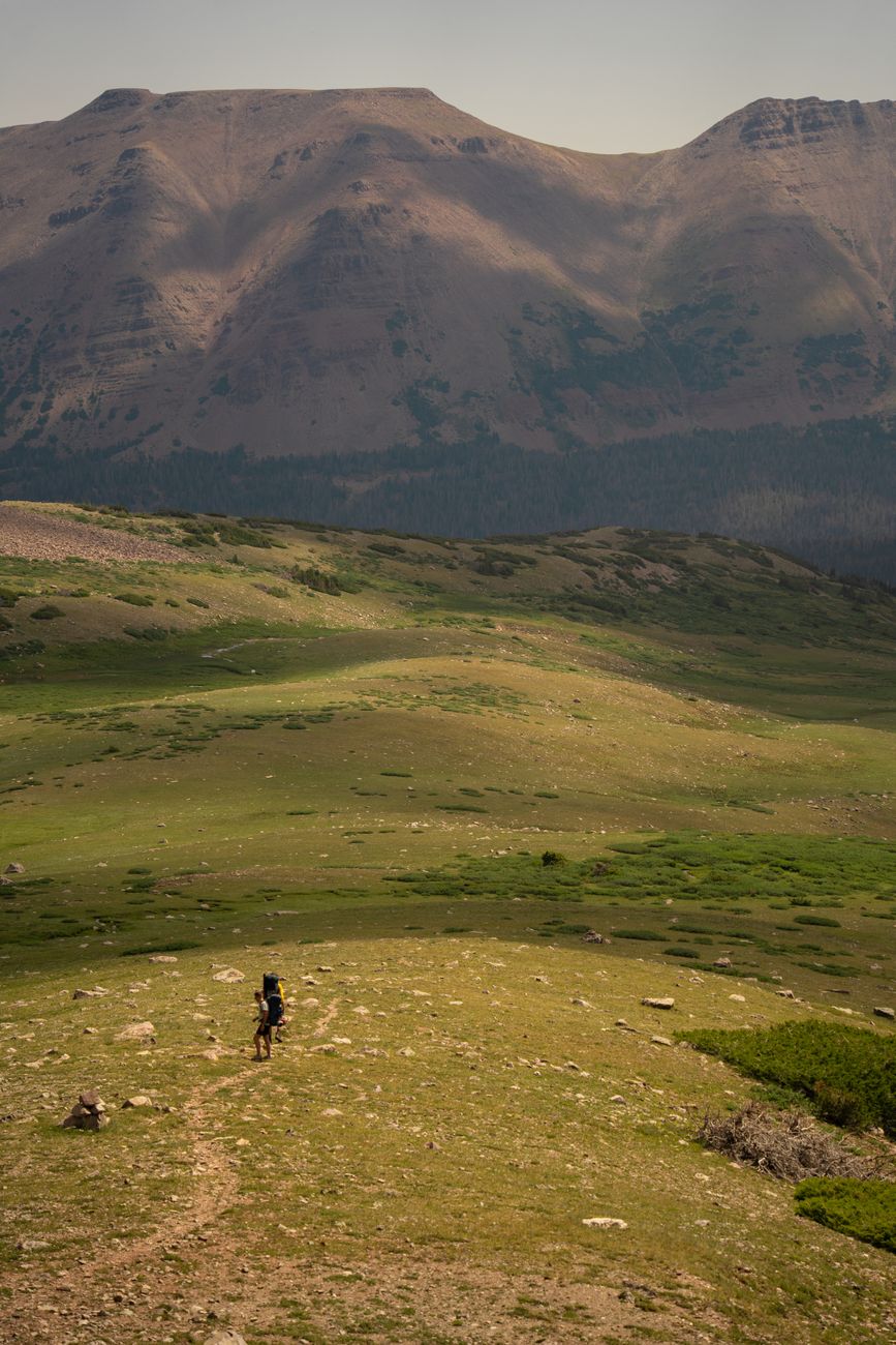
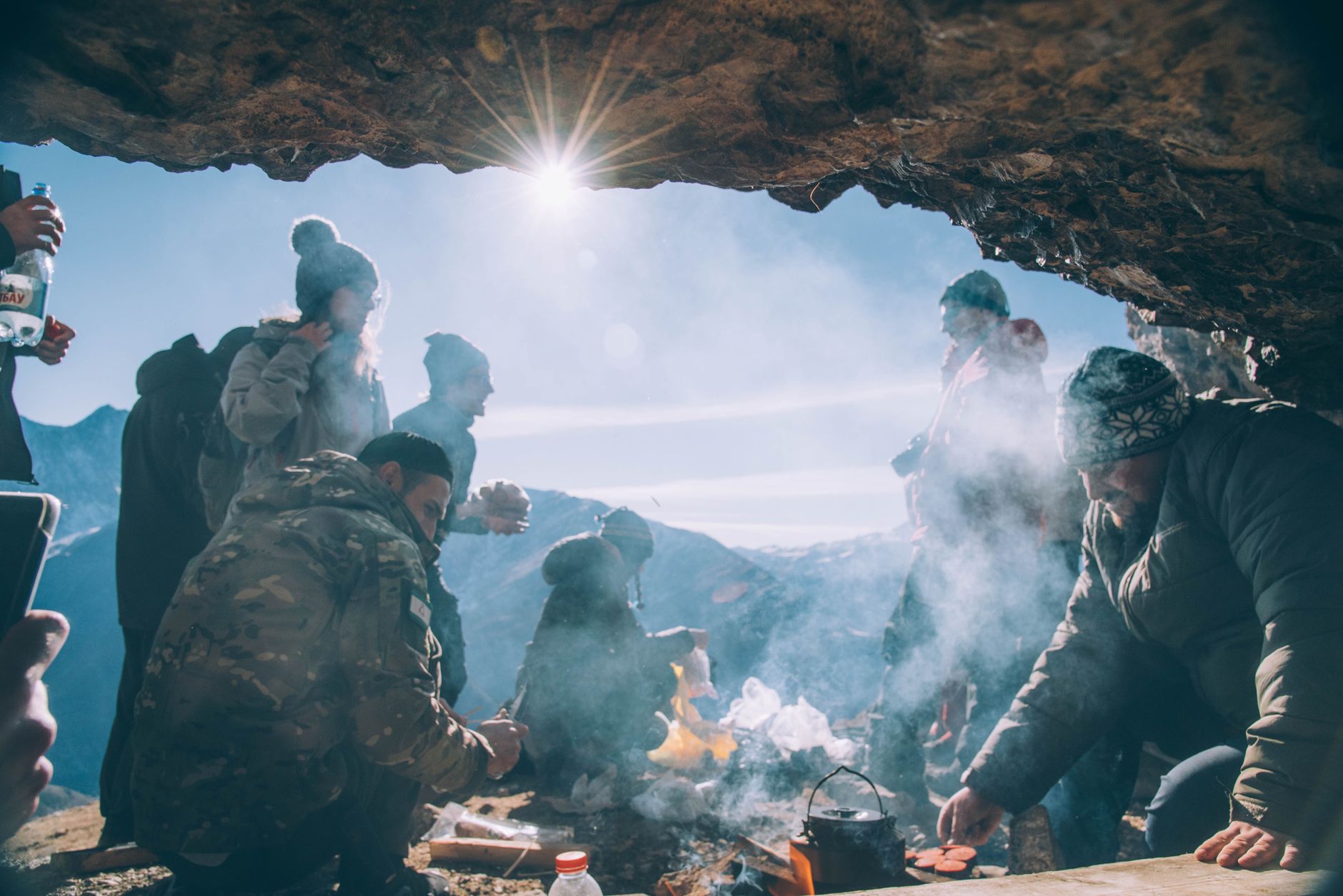
Three steps, then a lot of walking.
Pick a trail, see the profile, and know where the next town, pass, and water source are before you start.
Base weight, resupply boxes, and a pace that fits the terrain — not the calendar.
Go offline, log every mile, and lean on a community that's already out there when it gets hard.
Built for the walk, not the scroll.
Download whole routes before you go. The map keeps working when the signal doesn't.
Caches, springs, and towns — with a live report from hikers ahead of you.
Every pass, every climb, drawn in one line so the schedule matches the terrain.
Log miles, track pace, and see how today's walk compares to yesterday's.
Read the last week of reports from the exact section you're about to walk.
A companion that keeps you pointed the right way, even when the trail doesn't.
Shot where the trail actually goes.
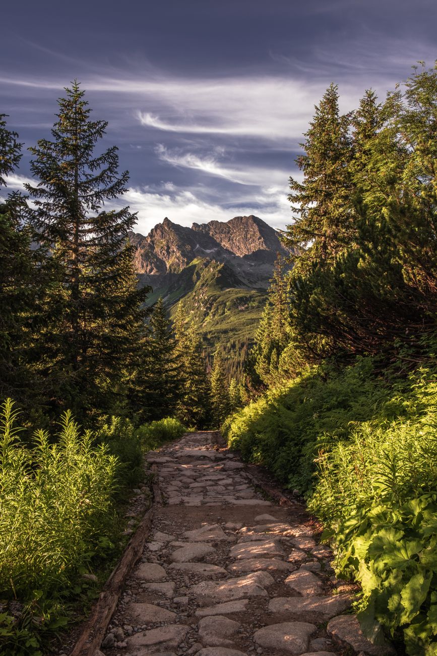
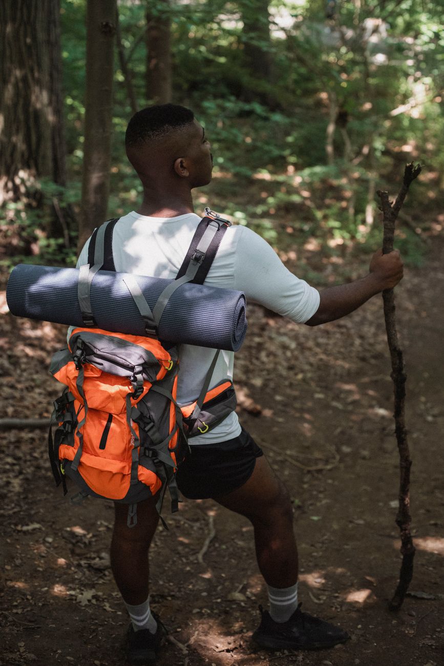

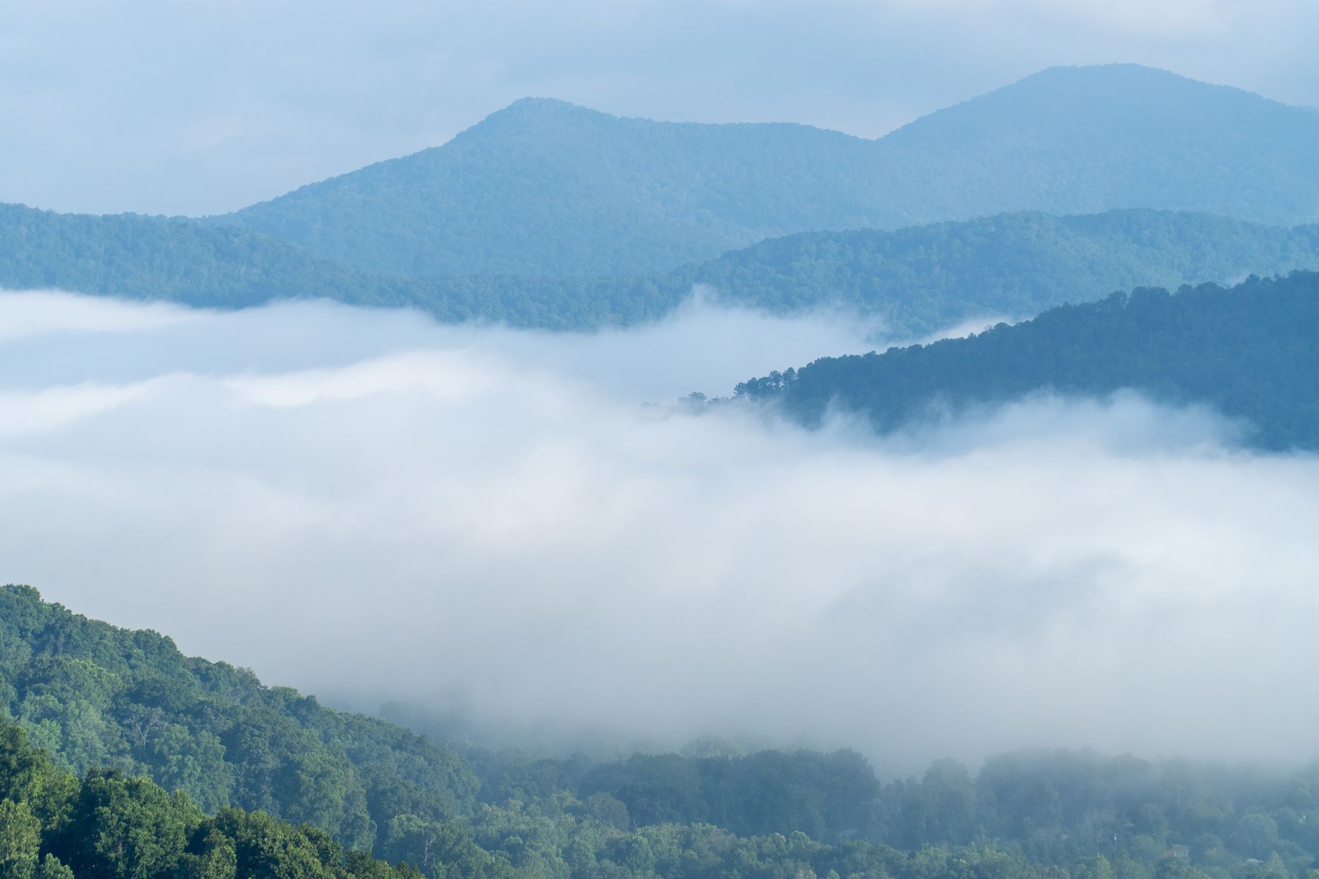
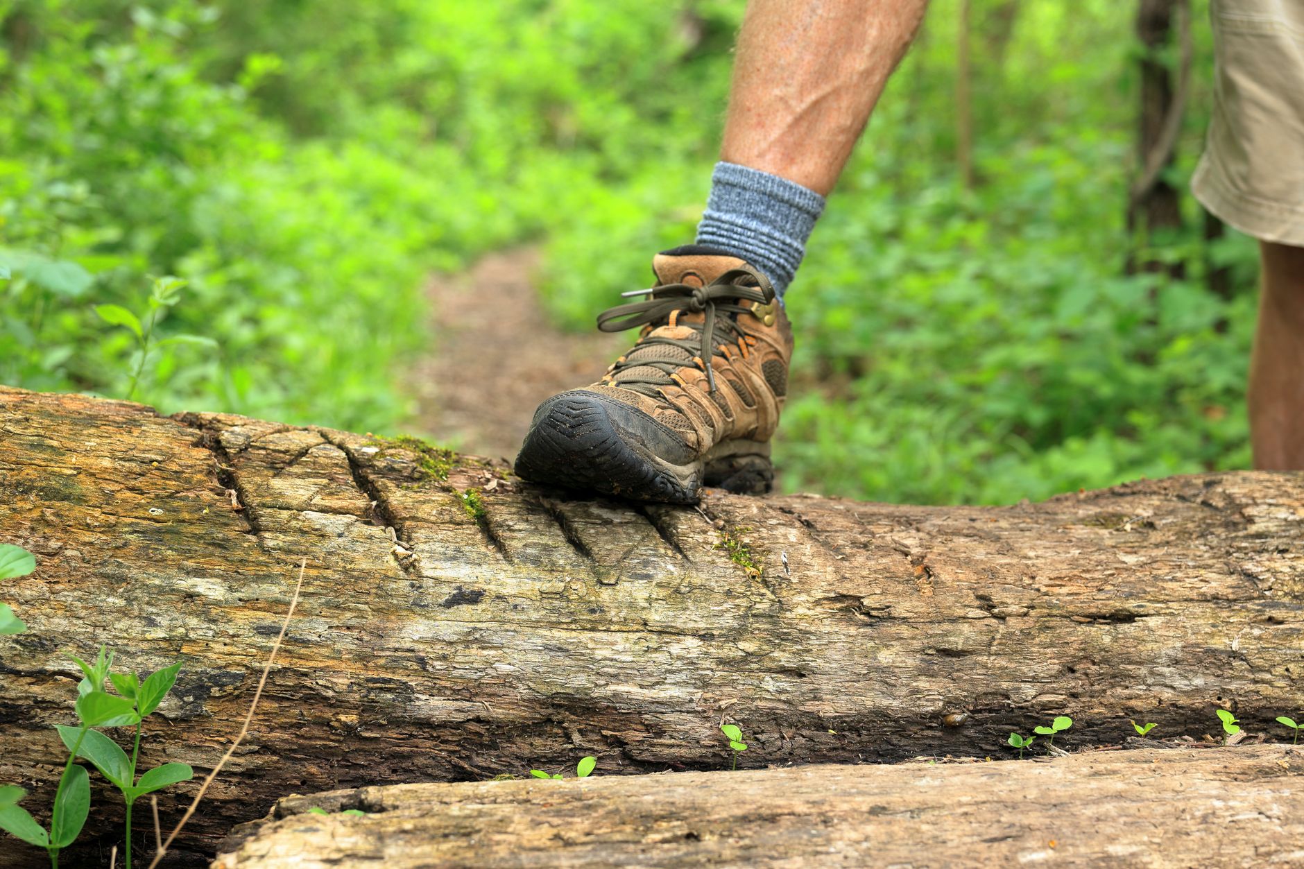
Two thousand miles, in one line.
Pick your pace. The trail takes all of them.
Up before dawn, back for dinner. The long trail in a single long day.
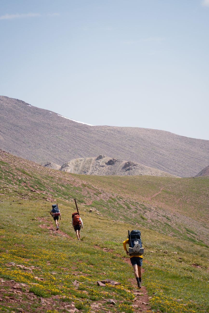
The whole thing in one season. Months of walking, resupply boxes, and trail names.
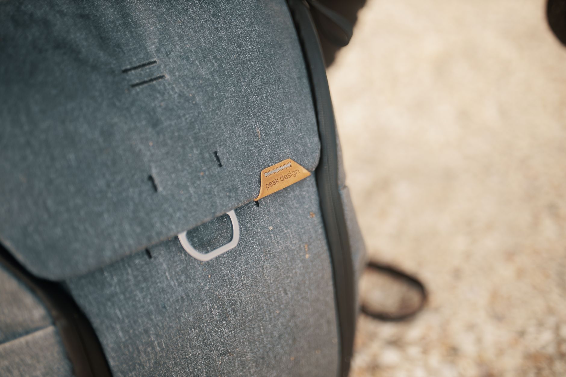
One summit, chosen on purpose. The walk is the approach; the view is the point.

A trail done in chunks over years. No finish line, just a line you keep coming back to.
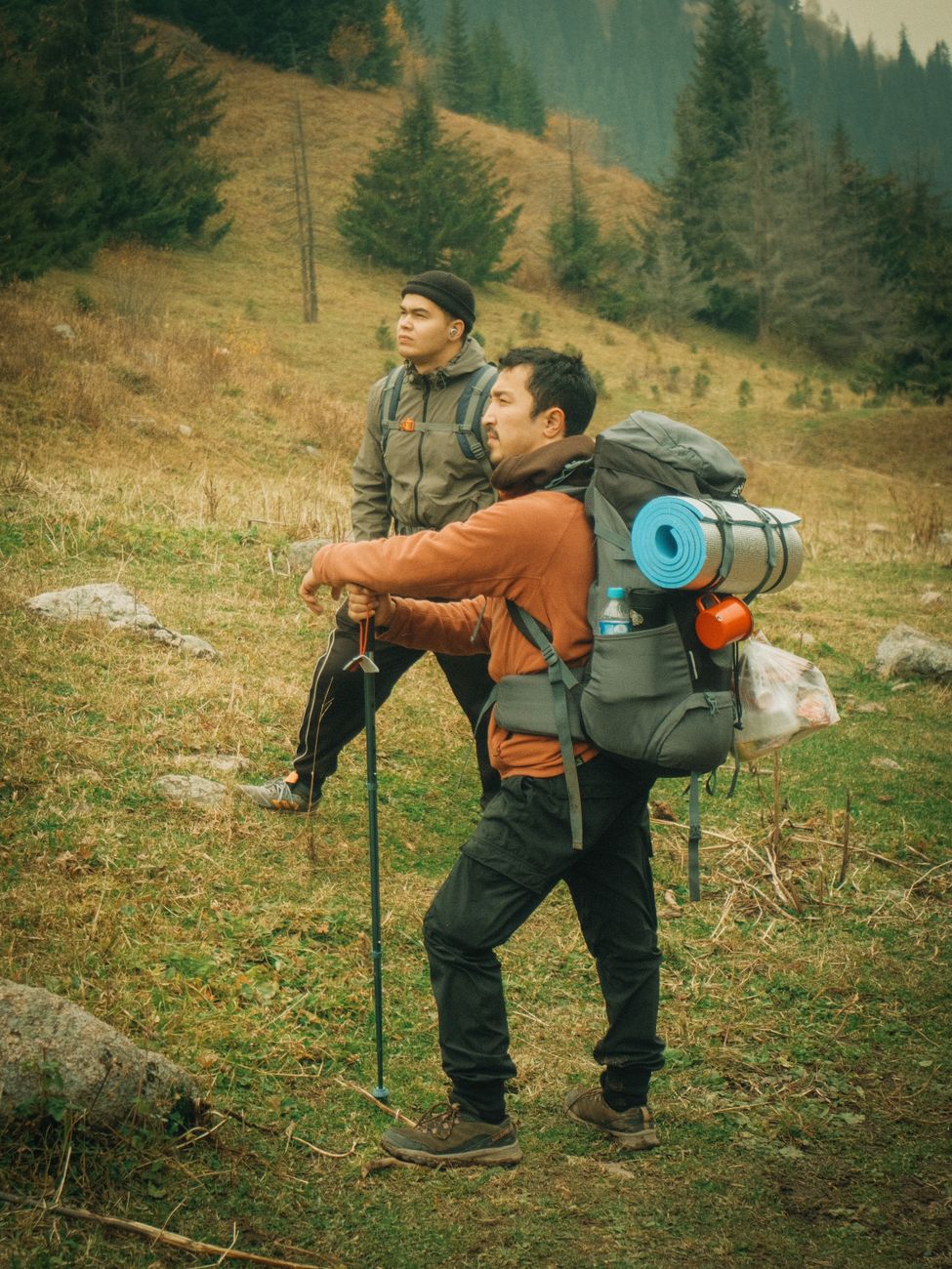
Nobody wakes up in Georgia and walks to Maine. You walk to the next water source, then the next shelter, then the next town. The trail reveals itself one day at a time.
That's the whole idea behind wayfarer. Maps don't hike. Apps don't hike. But a good companion makes the thousand small walks easier to string together — the water report you can actually read, the profile that tells you tomorrow is a hard day, the note from a hiker a week ahead saying the spring is dry.
So here's the invitation: pick a trail you've always meant to walk. Plan the first twenty miles. The rest of it will take care of itself, one step at a time.
Live, from our backend.
Hikers who finally finished.
"I planned my whole PCT on wayfarer and the water reports alone saved me twice. The profile told me when to slow down before my legs did."
"It's the only app that feels like it's been on trail. The offline maps just work, even at mile 400 with no bars."
"I did the Camino with it as my only guide. Yellow arrows and a good map — that's all you actually need."
Where we're headed.
Route planner, offline topo, and the live water report — in beta.
Community trip reports and a shared resupply box planner.
Satellite SOS and weather-on-route, for the stretches without signal.
wayfarer beacon: a tiny device that logs miles and calls for help.
the long way, kept.